


The Vall Fosca, thanks to its varied landscape and terrain, has a wide range of options to enjoy it through trips of various difficulties, durations, lands and landscapes.
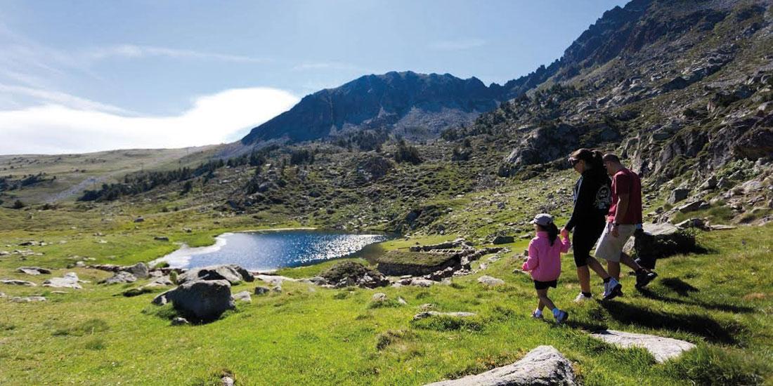
The lacustrine zone of the Valley
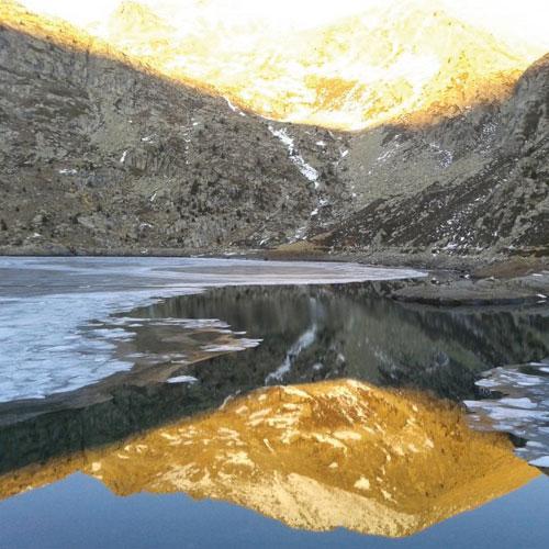
The lacustrine area of the Valley is the southern access to the Aigüestortes National Park and the Estany de Sant Maurici by the Pallars Jussà. It's located in the highest summits of the Valley, and in the summer it is possible to be accessed by the cable car.
It is an area located from 2200 meters, where we can find up to 32 lakes with typical high mountains landscape, rocky areas and, in between, impressive lakes.
In this area, several itineraries can be made by foot, which connect the ponds to more than 2000 meters, the GR-11-20 long path that allows you to reach Espot and Boí, going through the Vall Fosca, the greenway of Carrilet, ascents to peaks like Peguera (2,942 m) or Montsent de Pallars (2,883), among others, or the return by the refuges of the National Park, Carros de foc, which in the Fosca Valley begins at the refuge of Colomina.
Trips through the villages
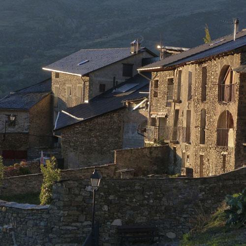
These are excursions of medium difficulty, framed in old roads that use to connect the villages with each other through forests or mountains. That will allow us to enjoy the magnificent landscapes of the area and at the same time know the different towns of the Valley.
You can check all the available routes by visiting the hiking section of the Vall Fosca website